image image

Plotting

Plotting

What is a Plot Plan?

An architectural sketch called a plot plan depicts a piece of land along with all of its key buildings and features. A plot plan incorporates a number of characteristics, such as all the structures, decks, porches, sheds, pools, and other landscape features, in addition to the property's boundaries. They are frequently included in zoning applications, which must be submitted to the appropriate permitting organisations when making an application. Homeowners can draught them themselves, but depending on the situation, architects, surveyors, or engineers are typically hired to create them.

Plot Land Versus Land Survey

A plot plan is a great and logical choice if you're trying to identify the current structure and man-made characteristics. These are the best options for guaranteeing that the site plan complies with development code requirements and for proving it to the appropriate authorities. On the other hand, land surveys are more concerned with accurately and precisely displaying the size and location of the land. Therefore, if that is the aspect that means the most to you for whatever reason, selecting a land survey may be the best option. They are frequently included in zoning applications, which must be submitted to the appropriate permitting organisations when making an application. Homeowners can draught them themselves, but depending on the situation, architects, surveyors, or engineers are typically hired to create them.

Guidelines for a Plot Plan

Following are the instructions for drawing a plot plan:

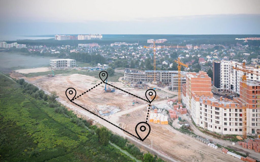
Take measurements of the land and the existing structures using a measuring wheel.

Start by setting up a measuring wheel in one of your property's corners, then move it along your property boundaries while walking behind it.

Write down how long each side of your property is.

For each building on the property, repeat the process.

Once the measurements have been taken, scale the lot's outline on graph paper.

Create a scaling rule in the corner of the graph paper to demonstrate the conversion of feet to inches. For instance, ten feet are equal to one inch.

Draw the existing buildings and structures on your plan, along with any suggested alterations or additions, using the scale rule.

Draw a compass or a directional arrow to indicate the direction the property is facing.

Write your name, address, and phone number on the plan.

Include the square footage of the project as well as the properties.

Include your area's and your bulk's percentages for building coverage, impervious coverage, and green space.